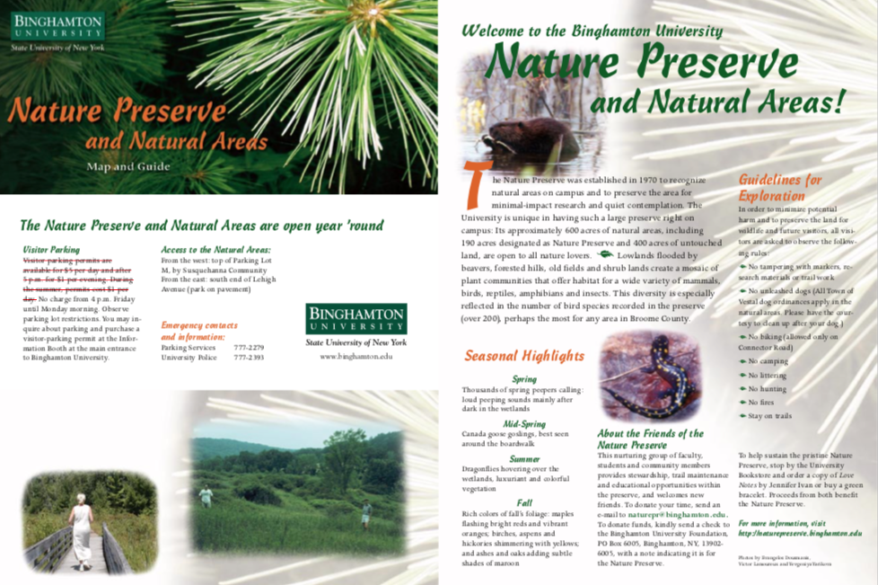
Parking Information
NOTE: Parking Information on the Brochure is Outdated. All Campus day passes are now $10 (all year long) or there are pay spaces in front of the main entrance to the Nature Preserve.
Weekday parking: There are pay spaces at the main entrance to the Nature Preserve at the corner of
the West Access Road (Top of Lot M) Day Passes for all non-paid lots can be obtained
from the Information Booth at the Main Entrance to BU.
Weekend parking: Free in non-paid lots such as Lot M.
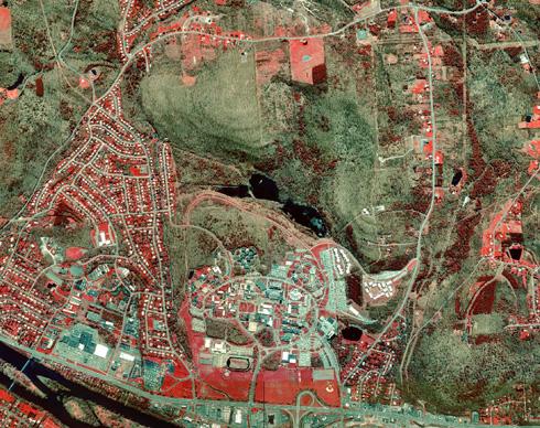
Present Aerial Map
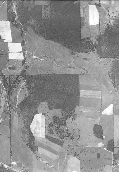
Aerial view taken in 1999
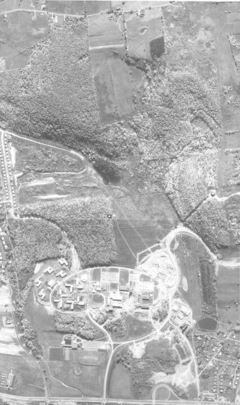
Historical Aerial Maps
Aerial map, taken in 1965
Aerial view taken in 1937
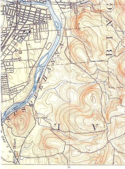
The city of Binghamton and surrounding areas were surveyed in 1901 and a topographic map was drawn by J.H.Jennings.
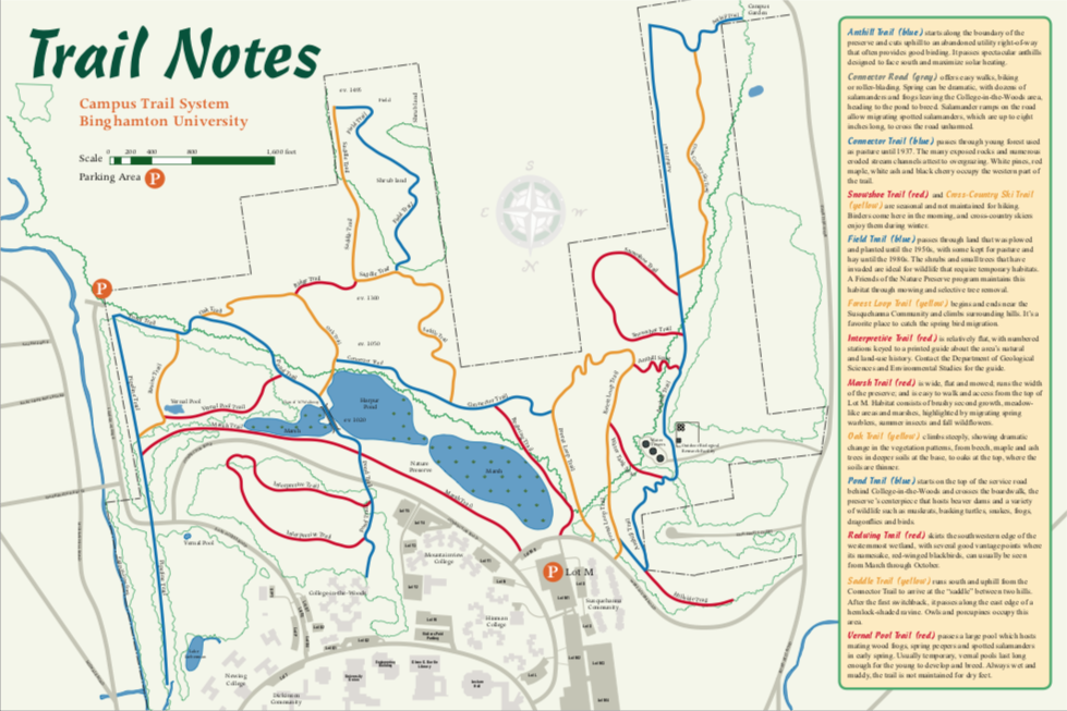
We have almost 11 miles of trails.
Trail Lengths (miles):- Anthill 1.3
- Anthill Spur 0.15
- Connector 0.44
- Cross Country Ski 0.49
- Field 0.51
- Forest Loop 0.90
- Hillside Spur 0.27
- Interpretive 0.74
- Marsh 0.72
- Oak 0.43
- Pipeline 0.79
- Pond 0.85
- Ravine 0.21
- Redwing 0.29
- Ridge 0.17
- Saddle 0.70
- Snowshoe 0.57
- Vernal Pool 0.28
- Water Tank Spur 0.18